Mapping Tools
Get customised data by mapping an area of interest.
Insights for your project. Any shape. Any size.
Mapping tools that give you insights for your unique project.
Maps that match your project
Choose the right mapping tool to get the insights you need:
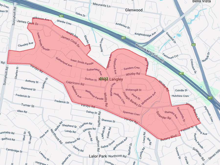
- Polygon Tool: customised map for a specific area or set of streets
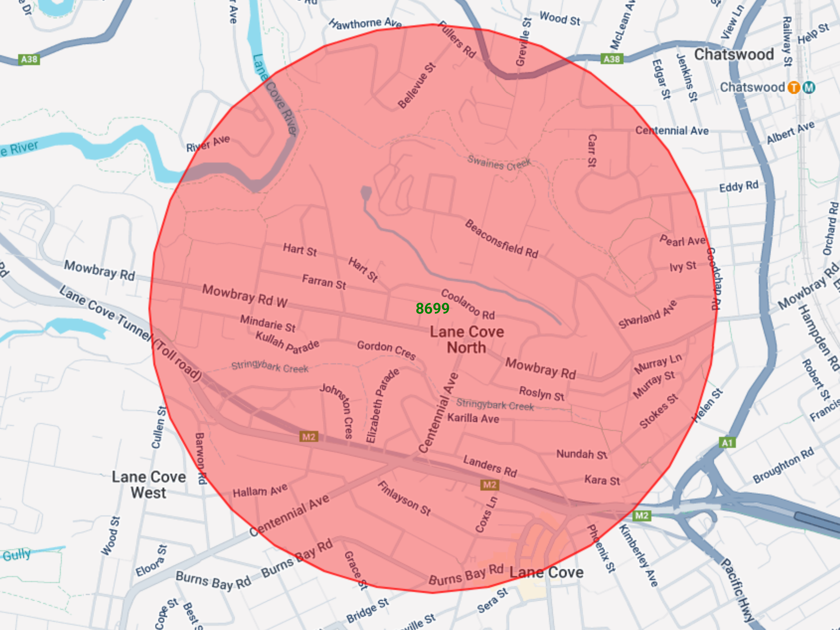
- Radius Tool: circular maps centred on your project
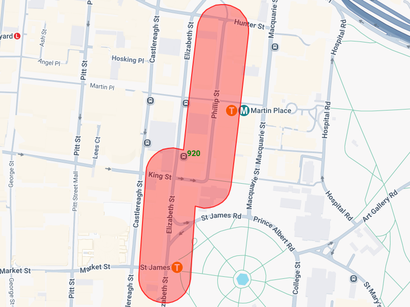
- Radial Line Tool: capture an area along an alignment (e.g. road, rail line, or power lines)
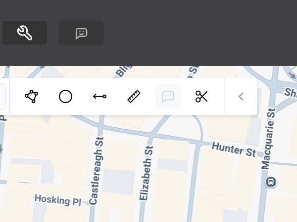
- Measure Distance Tool: calculate distances between two or more points on a map
- Comments Tool: add comments on your map to highlight points of interest
- Split Polygon Tool: divide your map into separate parts, or remove parts you don’t need
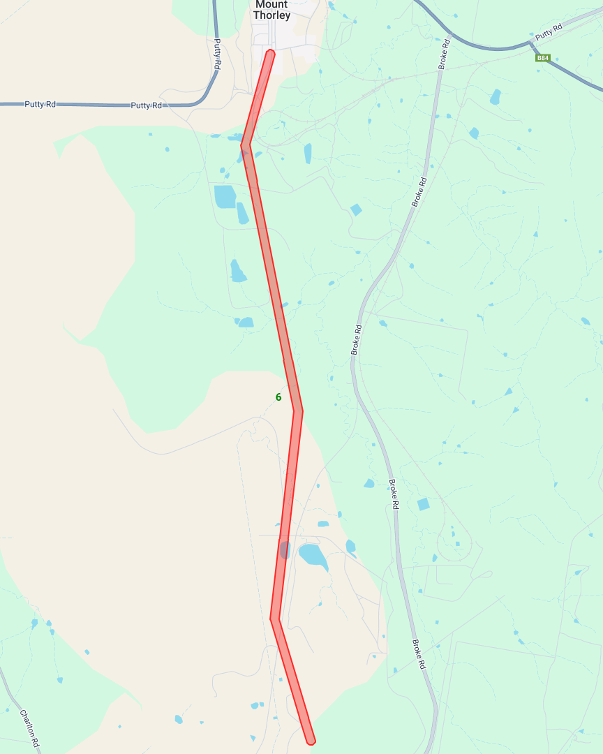
See who's impacted by energy projects
Identify properties along a proposed transmission line using the radial line tool.
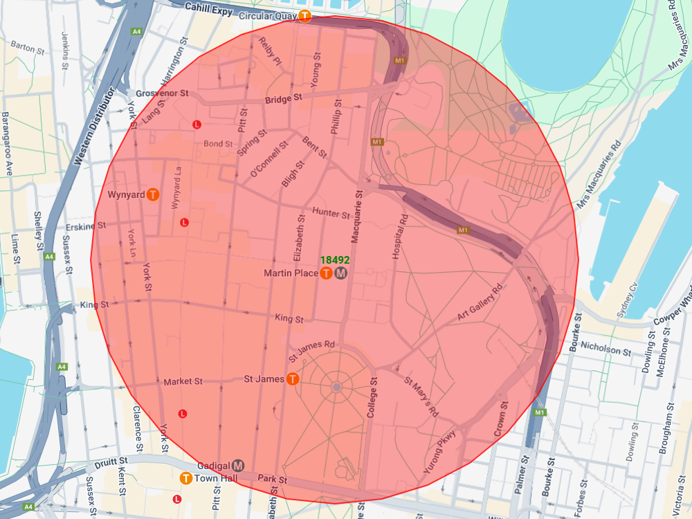
Map property data for a transport catchment
Get a breakdown of the properties within 700m of a train station using the radius mapping tool.
Map It Your Way.
Ready to map out your perfect project area?
Don't let rigid boundaries hold you back. Our versatile mapping tools give you the freedom to create custom maps of any size or shape – whether it's a bespoke polygon, a simple radius, or a radial line for infrastructure. Get precise data for the exact areas that matter to your project, so you can stop guessing and start getting down to business.