How to create a polygon map
Capture custom areas that standard shapes can’t match, such as parts of suburbs or a pocket of streets.
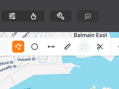
1. Select The Polygon Tool
The Polygon Tool is located at the top of the map (highlighted orange in this image).
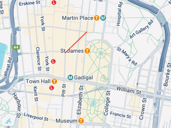
2. Draw your first boundary
Left click the mouse at the start point of your map. Then move the mouse to your desired distance and left click again.
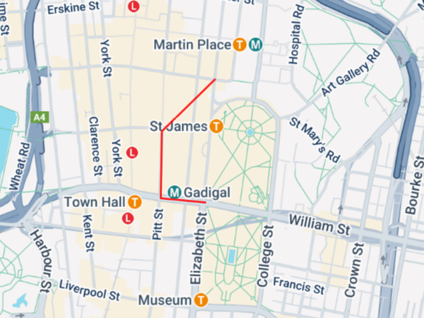
3. Draw remaining boundaries
Repeat the same process to draw as many boundaries as you need to capture the desired area.

4. Complete your map
To finish drawing your map, connect your final boundary to the first boundary.
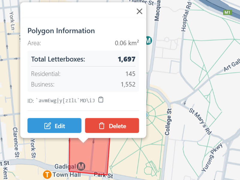
5. Optional: edit or delete your map
You can delete or edit the size of the map with a right click.