No more stitching together files
Scopomap pulls data from the SA1s that match your selected area and combines
them into one spreadsheet. So you get accurate numbers without having to wrangle
multiple datasets.

How to get detailed SA1 data
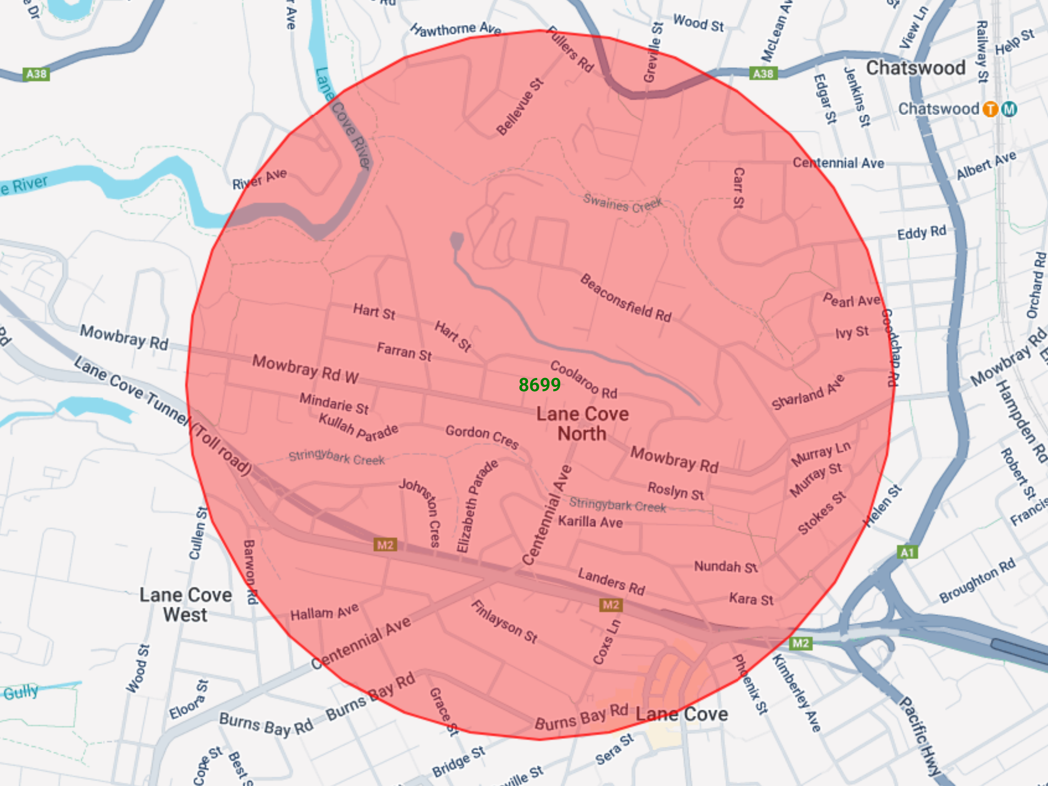
1. Create a map
Use any of the mapping tools to create a map (polygon, radius, or radial line).
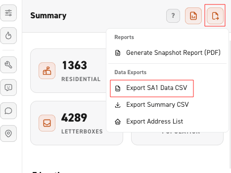
2. Select 'Detailed SA1 Data'
Use the download button at the top right of the screen and select Detailed SA1 Data.
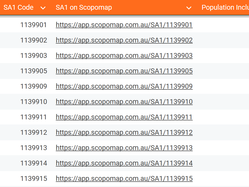
3. Open your downloaded spreadsheet
Your Detailed Data will be automatically saved in your Downloads folder (look for a file named “SA1”).